

Field Notes

Stories from the field, lessons from the land, and a closer look at how our projects come together.

Planning & Design for Urban Watersheds

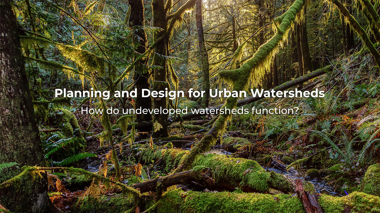
Planning and Design for Healthy Urban Watersheds is a series of 4 videos that illustrate how watersheds function, how they have changed with development over time, and why many no longer support healthy streams and fish populations.  We explore the history of urban development and its impact on local watersheds and the ecologically important streams they support. By understanding how watersheds function, both natural and urbanized, we can begin to address the problem. Using Nature-based Solutions, we can reintroduce natural drainage processes back into urbanized watersheds to create clean urban runoff that can support aquatic life.

Part 3: Why Are Our Urban Watersheds Not Supporting Life? (Coming Soon!)
In our third video, we explore how water moves through a developed, urban watershed typical of many Canadian towns and cities. We see how development and piped storm drain systems increase stream discharge and pollution loads to sensitive habitat. Urban storm drain systems override the natural watershed processes and create a very fast water delivery system that alters stream channel morphology, impacts habitat, and can increase downstream flooding.
Part 4: Using Nature-Based Solutions to Bring Life Back to Urban Watersheds (Coming Soon!)
In our final video in this series, we explore what Nature-based solutions are and how they can be integrated into urban landscapes. Reintroducing natural drainage functions into urban watersheds slows and cleans water, and treats stormwater as a resource, something to be celebrated, not treated as waste. By working with the land and allowing water to interact with landscape, we can create places that function better for people while contributing to healthier streams and urban environments.

Watch More

Understanding a site starts with understanding how water moves through it. These videos walk through how we read a landscape, how watersheds function, and how that shapes the way we design.

LiDAR as a tool to understand complex sites
When we respect and understand landform and function, we can reduce unnecessary infrastructure, protect intrinsic site value, and create places that support Development, people, and local ecology. In complex sites, MDI uses LiDAR data to understand how sites function and how to best fit development to a site. We can review slope, drainage, wetlands, and vegetation to then integrate trails, roads, development, etc. in such a way that we work with- not against the natural systems that make sites special. Good planning starts with understanding your site.

Putting Salmon Safe Principles Into Practice

In 2021, we completed Vancouver Island's first Salmon Safe certified landscape architecture project, one of many ways our work has put this approach into practice.
BC Transit

HandyDART Centre earns Salmon Safe certification
read article
Certification Report

View the 2022 Salmon Safe certification report

View Report
Stream Realignment & Restoration

Explore the restoration work at the Victoria HandyDART Centre

Explore project
Cowichan District Hospital

Cowichan District Hospital to become first in BC with Salmon Safe certification

read article

MDI in the News

Lorem ipsum dolor sit amet
Lorem ipsum dolor sit amet, consectetur adipiscing elit, sed do eiusmod tempor incididunt ut labore et dolore magna aliqua. Ut enim ad minim veniam, quis nostrud exercitation ullamco laboris nisi ut aliquip ex ea commodo consequat.
read more
Lorem ipsum dolor sit amet, consectetur adipiscing elit.
Lorem ipsum dolor sit amet, consectetur adipiscing elit, sed do eiusmod tempor incididunt ut labore et dolore magna aliqua. Ut enim ad minim veniam, quis nostrud exercitation ullamco laboris nisi ut aliquip ex ea commodo consequat.
read more

Have a question about your own site? We're always happy to talk it through, even before you're ready to start.

get in touch