



Rainbow Hill Development

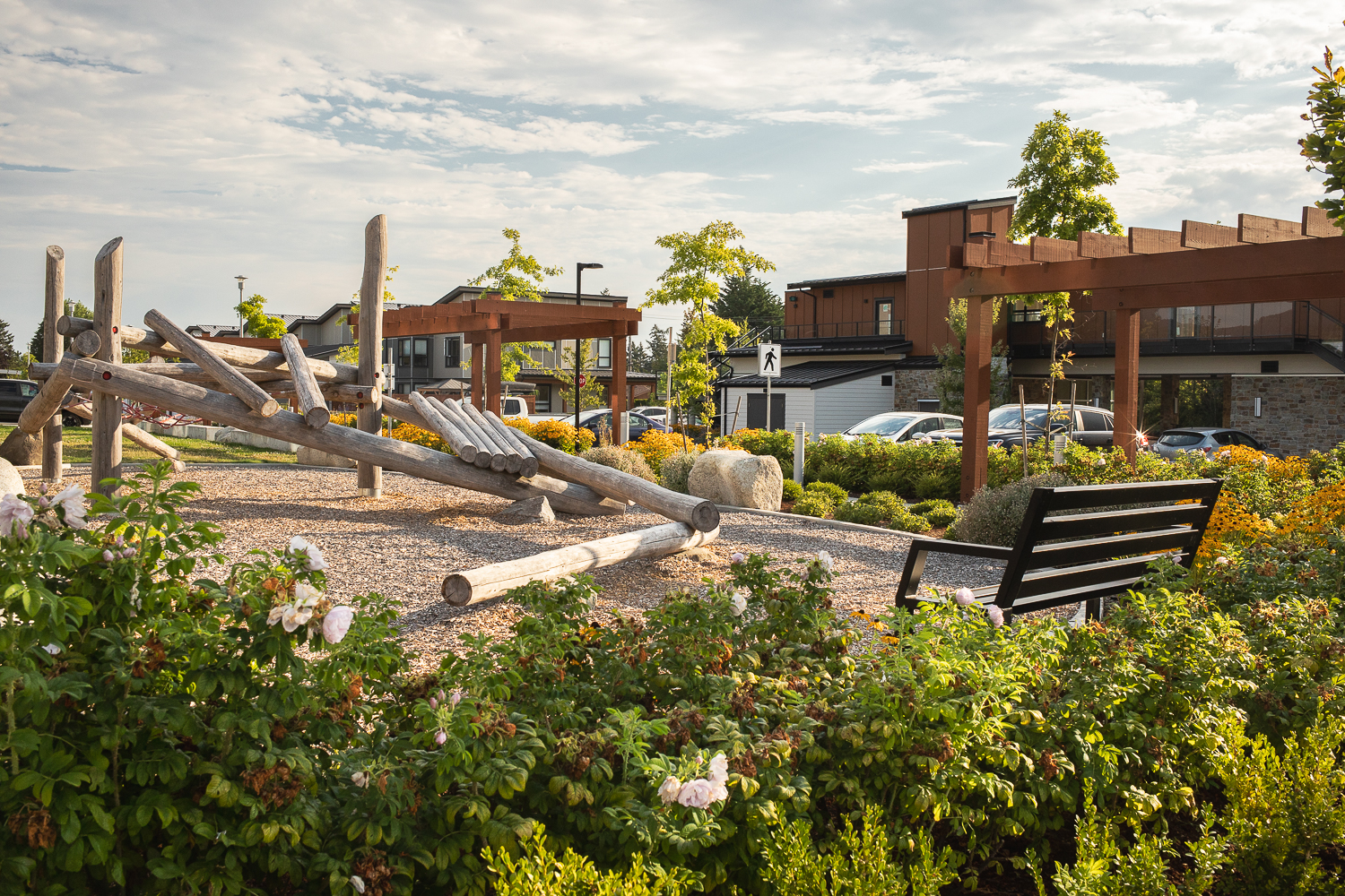
Rainbow Hill is a 9.6-acre residential community beside Christmas Hill Nature Sanctuary, within a Garry oak meadow landscape. MDI worked with DAU Studio and the project arborist to understand the trees, slopes, drainage, and buildable areas before roads and buildings were fixed.
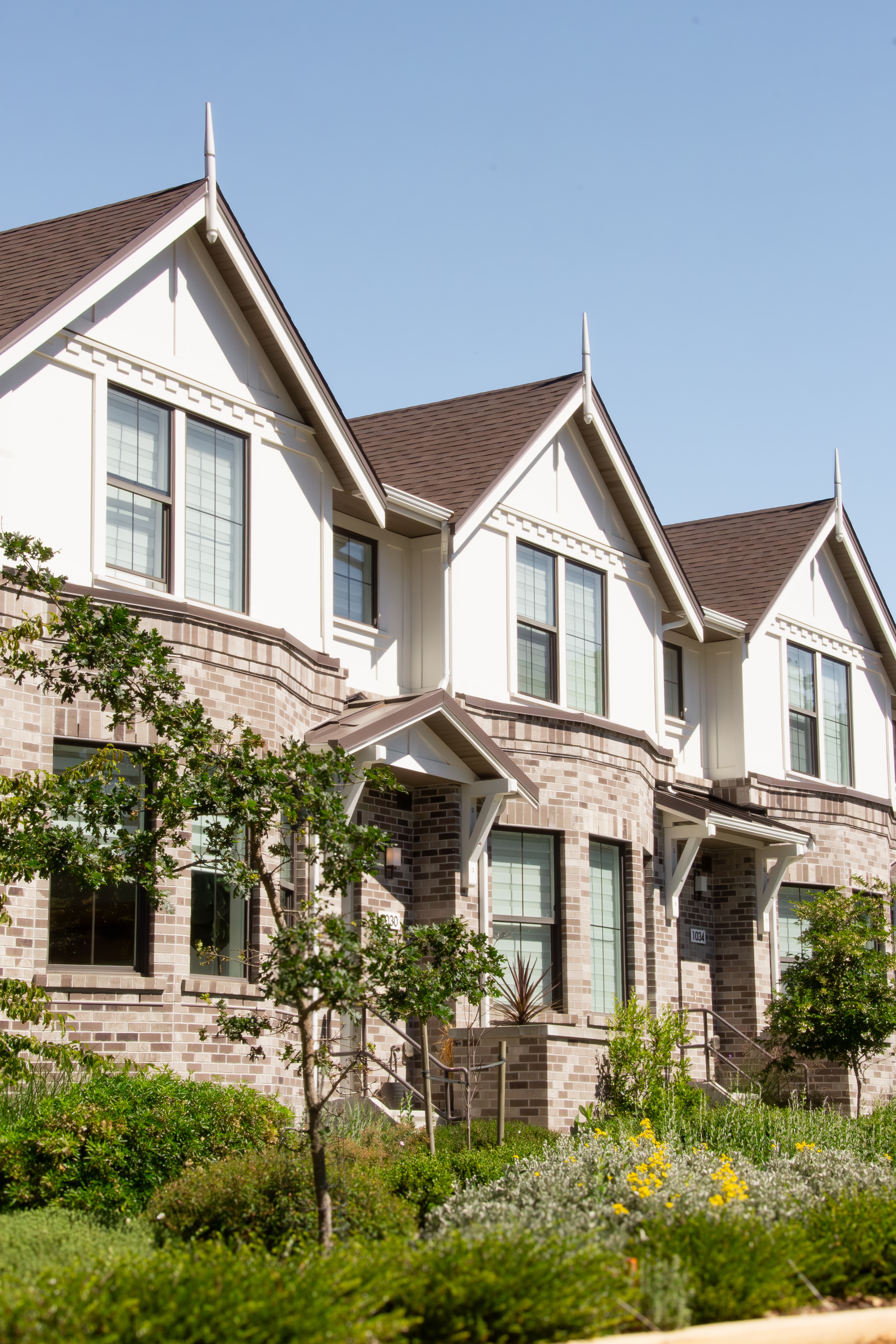
Using a site-adaptive planning process, the team developed a framework that integrated single-family homes, townhomes, residential buildings, and access routes with mature Garry oaks and meadow areas. Tree retention, root protection, surface rainwater management, and native planting were established as site-planning requirements rather than isolated landscape features.
The framework guided rezoning, development permits, building permits, and construction documents over more than a decade. The result is a neighbourhood whose structure and character are shaped by the land.


Let the Land Shape the Plan
Garry Oaks Defined the Buildable Areas
The site's mature Garry oaks, meadow areas, slopes, and drainage patterns were mapped before the development layout was fixed. This early work identified where buildings, roads, and servicing could fit while retaining the landscape features that define the site.
Site-Adaptive Planning
MDI used a site-adaptive planning process to coordinate housing, roads, grading, rainwater management, and open space as one system. The framework let the land guide development decisions and reduced conflict between site constraints and later design phases.
One Framework Across Many Phases
The framework plan became the common reference for rezoning, development permits, building permits, and construction documents. It kept tree protection, meadow restoration, and rainwater objectives visible as individual phases and building types were developed.
Protecting the Strategy Through Delivery
MDI remained involved from early planning through detailed landscape and rainwater design. That continuity helped carry the site's ecological priorities into grading, planting, access, and construction decisions rather than losing them between approvals and delivery.
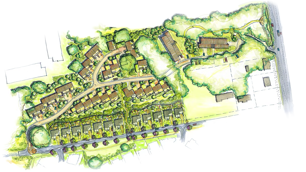
Rainbow Hill demonstrates the value of understanding a site before fixing a development plan. By treating the Garry oak landscape as the organizing structure, MDI helped create a varied residential community that retains mature trees, restores meadow character, and works with natural drainage.


Similar Projects