




Rainbow Hill Planning
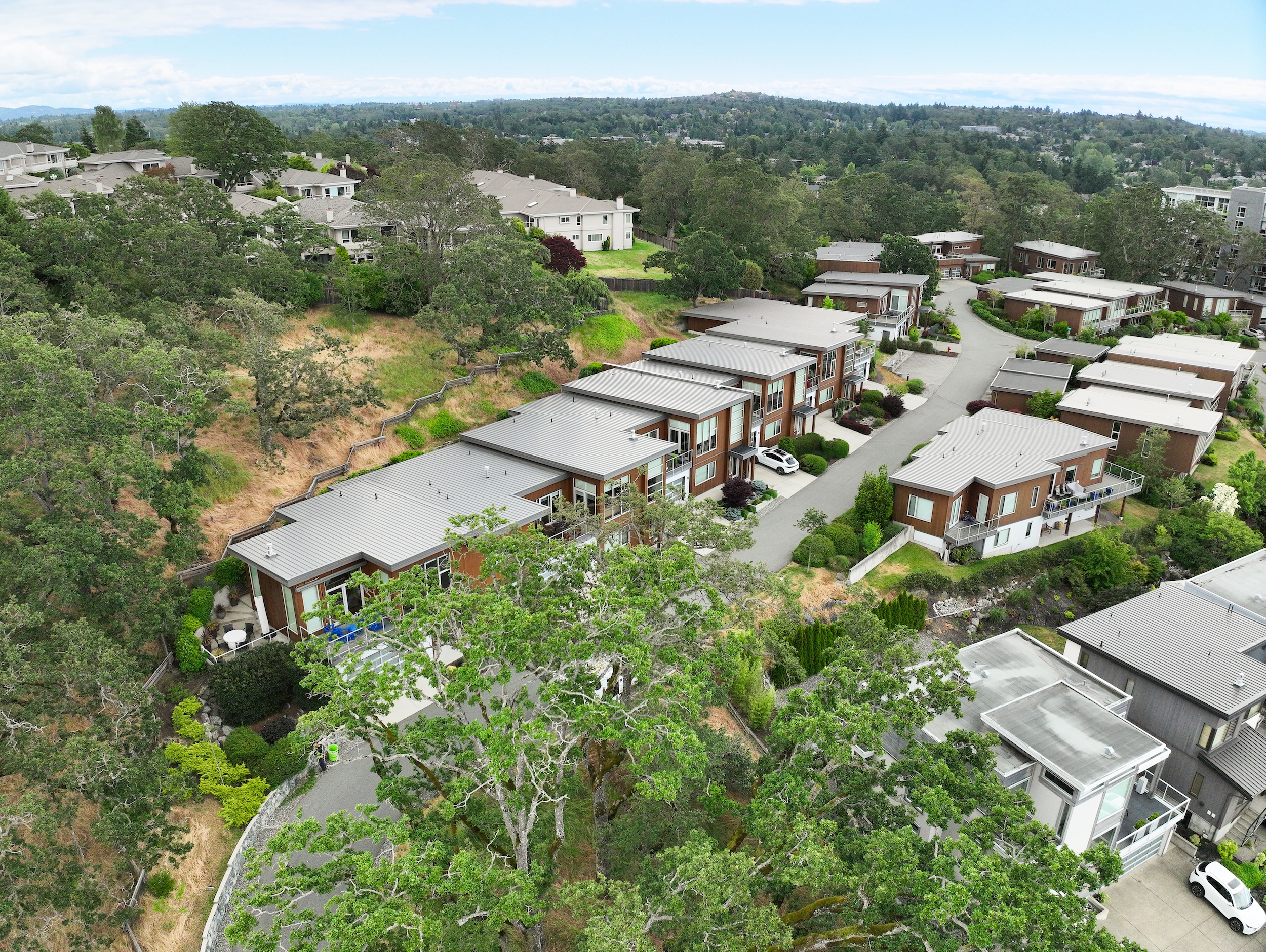
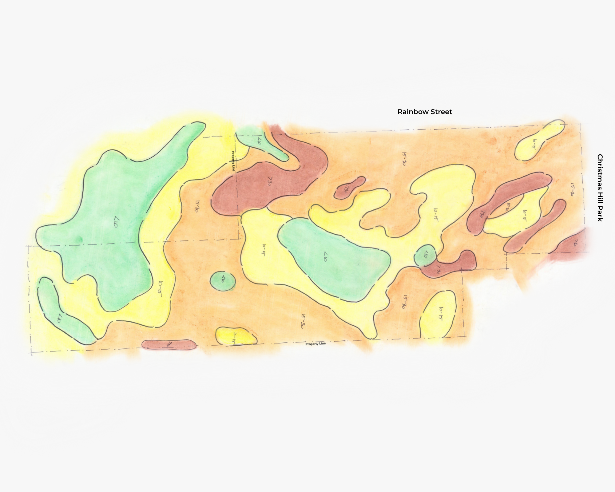
Rainbow Hill Planning documents the early planning work that established how development could best fit the site. It is the 'HOW' of MDI’s later landscape design work for the completed Rainbow Hill Development. Before building footprints, roads, or housing types were fixed, MDI studied the site as a living system, mapping topography and slopes, tree canopies and critical root zones, native and invasive vegetation, soils and disturbed areas, drainage, views, circulation, sun exposure, and habitat.
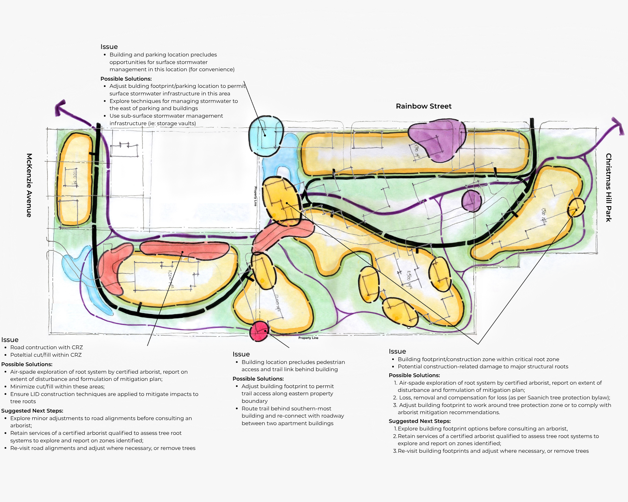
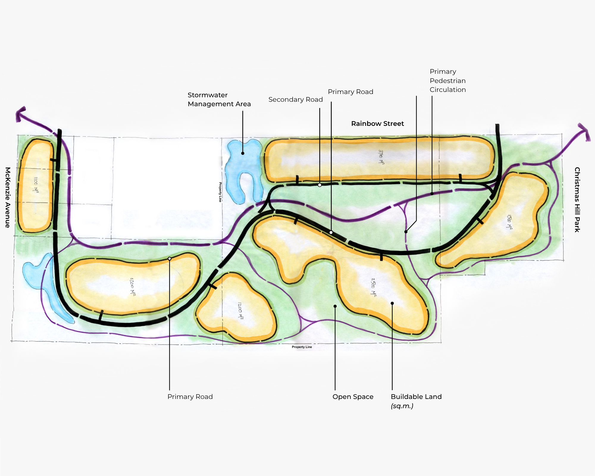
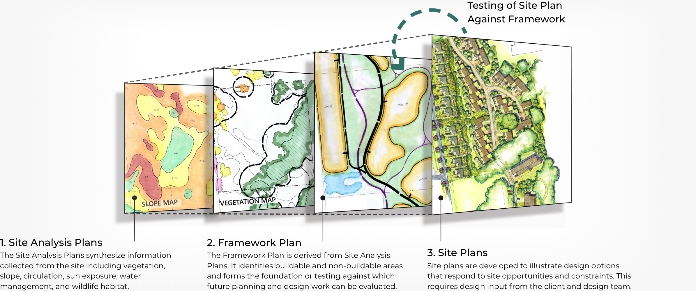
The analysis was synthesized into a Framework Plan identifying buildable and non-buildable areas, open-space networks, movement corridors, view opportunities, and areas needed for rainwater management. Development options were tested against this framework so conflicts with Garry oak roots, steep grades, drainage routes, and pedestrian connections could be identified while the plan still had room to change.
This nature-based planning process established the site’s intrinsic value—its Garry oaks, permeable soils, views, and natural drainage—as a planning resource rather than a constraint to address later. The resulting plan retained all existing Garry oak trees and established on-site rainwater management as a core requirement, giving the project team a clear basis for locating and organizing development in support of the site’s natural systems.
Understand the Land Before Fixing the Plan
Map the Site as a Living System
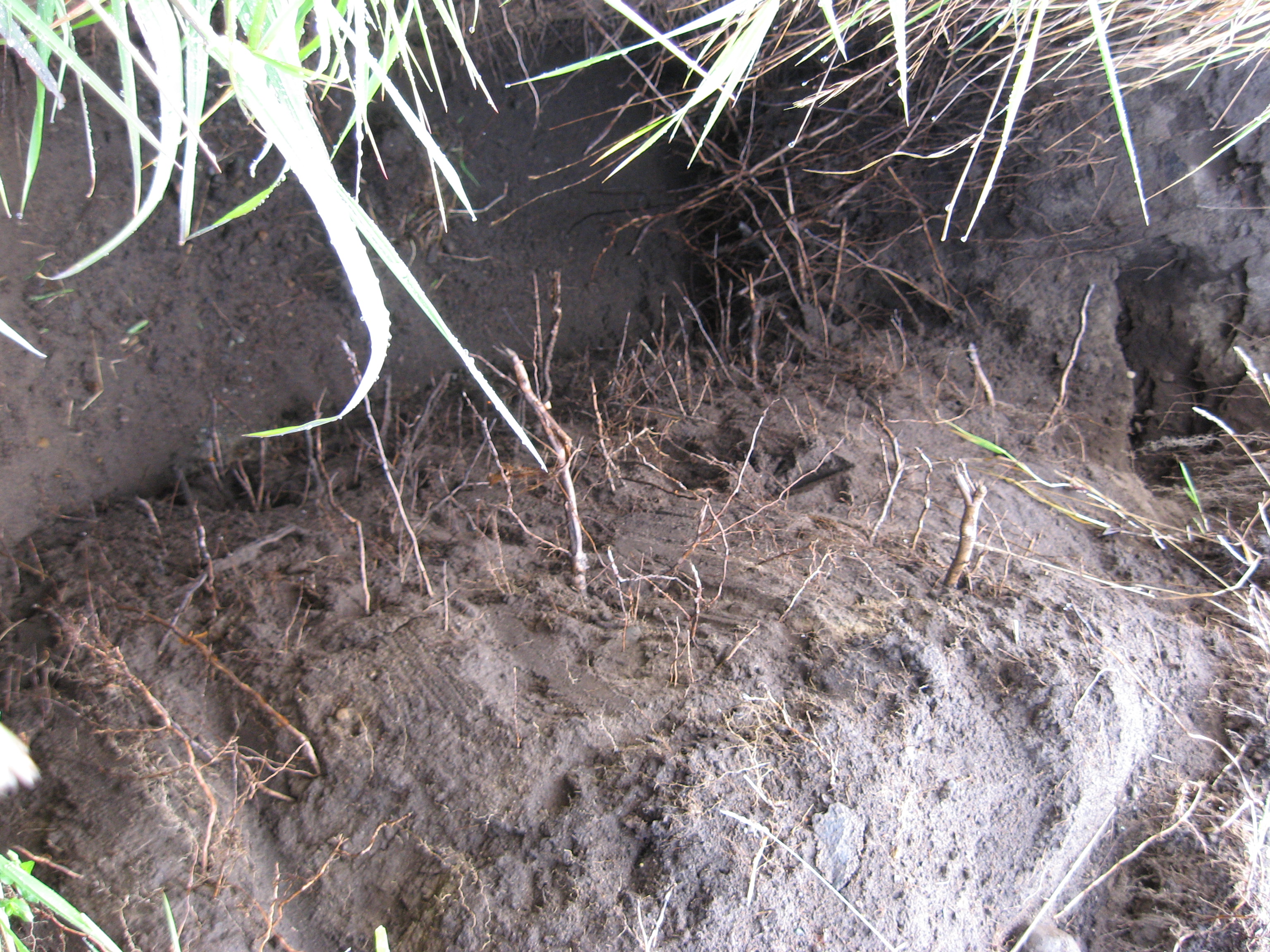
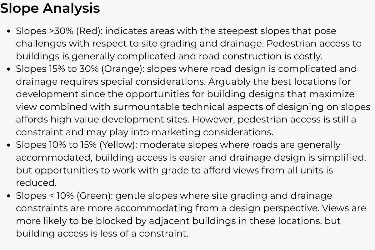
MDI assessed topography and slopes, tree canopies and critical root zones, native and invasive vegetation, soils and disturbed areas, drainage, views, circulation, sun exposure, and habitat. Reading these systems together revealed where development could fit and which site qualities needed to remain intact.
Build a Development Framework that Respects the Site
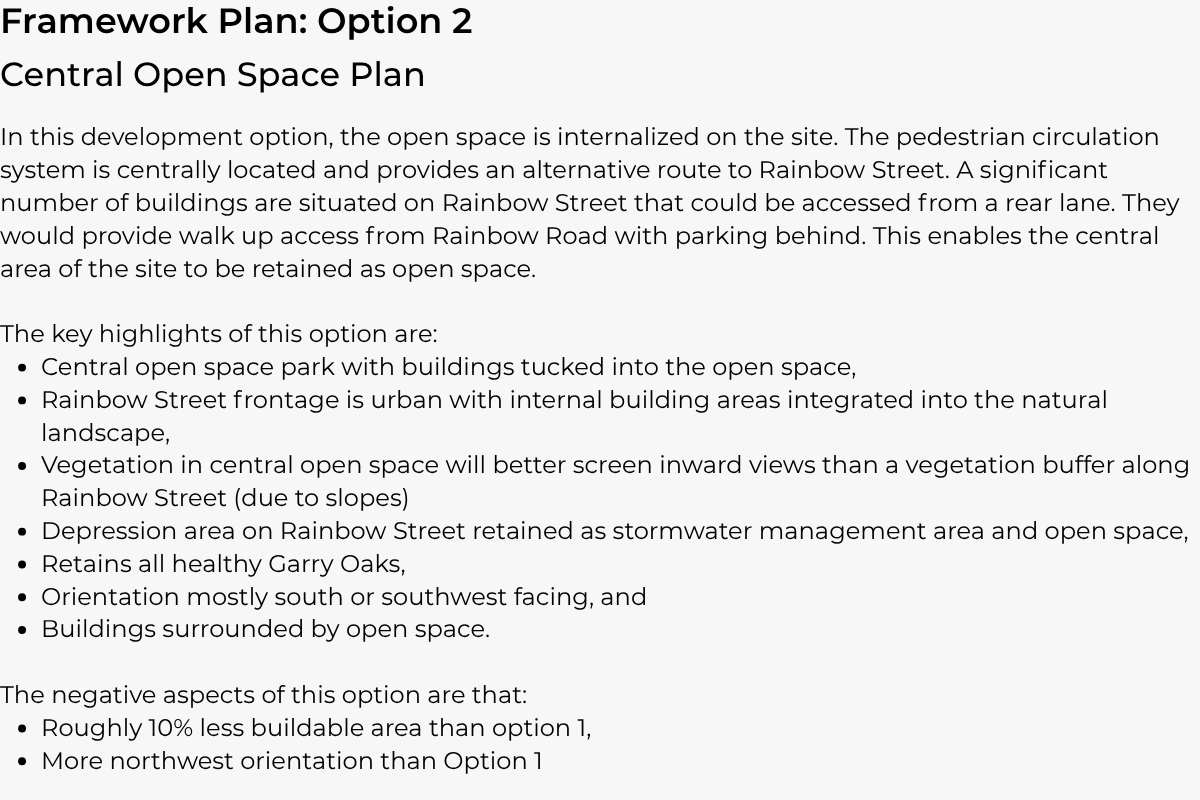
The analysis was translated into a Framework Plan identifying buildable and non-buildable areas, open-space networks, roads, pedestrian connections, view corridors, and areas needed for rainwater management. The framework gave the project team a shared basis for making planning decisions.
Test Development Against the Land
Roads, buildings, housing types, and open spaces were tested against the Framework Plan before the development plan was fixed. Conflicts with tree roots, steep grades, drainage routes, and pedestrian connections could be identified early, when the plan still had room to adapt.
Keep the Site’s Intrinsic Value in the Plan
The planning process retained all existing Garry oak trees and carried permeable soils, views, natural drainage, and open-space connections into the development structure. It also established on-site rainwater management as a requirement for the development that followed.
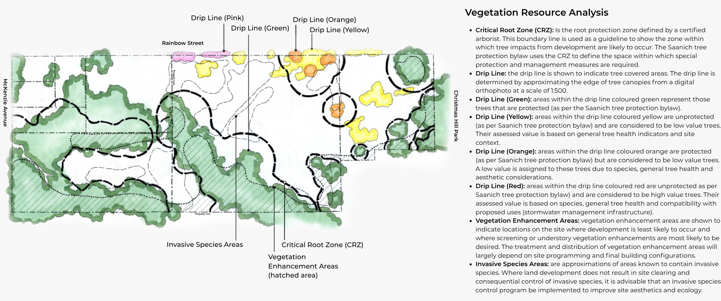
Rainbow Hill Planning demonstrates how early site intelligence can guide development capacity and layout. By mapping natural systems first and testing options against a shared framework, MDI helped the team make informed planning decisions, retain every existing Garry oak, protect drainage and soil functions, and preserve the features that give the site long-term value.
Similar Projects
.jpeg)